

Stalin Line is a unique historical complex near Minsk, attracting not only history enthusiasts but also anyone who enjoys unusual guided tours and educational trips. The 2GIS mapping service is one of the most convenient ways to navigate this extensive site.
Easily Find Points of Interest
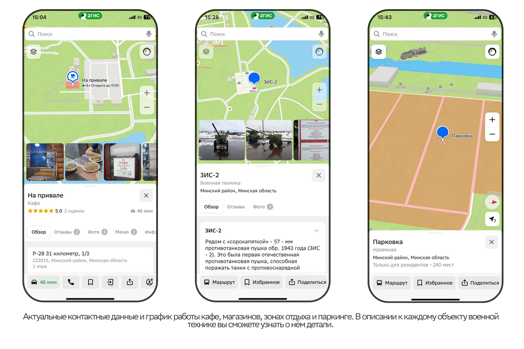
With 2GIS, you can easily find any point of interest within the Stalin Line complex. Simply scan the QR code on the signs to access the online version or mobile app, which will help you quickly find places of interest, from exhibitions to rest areas. In addition to a map, 2GIS provides detailed information about each location. You can learn more about the military vehicles and exhibition areas throughout the complex, making your visit even more informative.
Route Planning
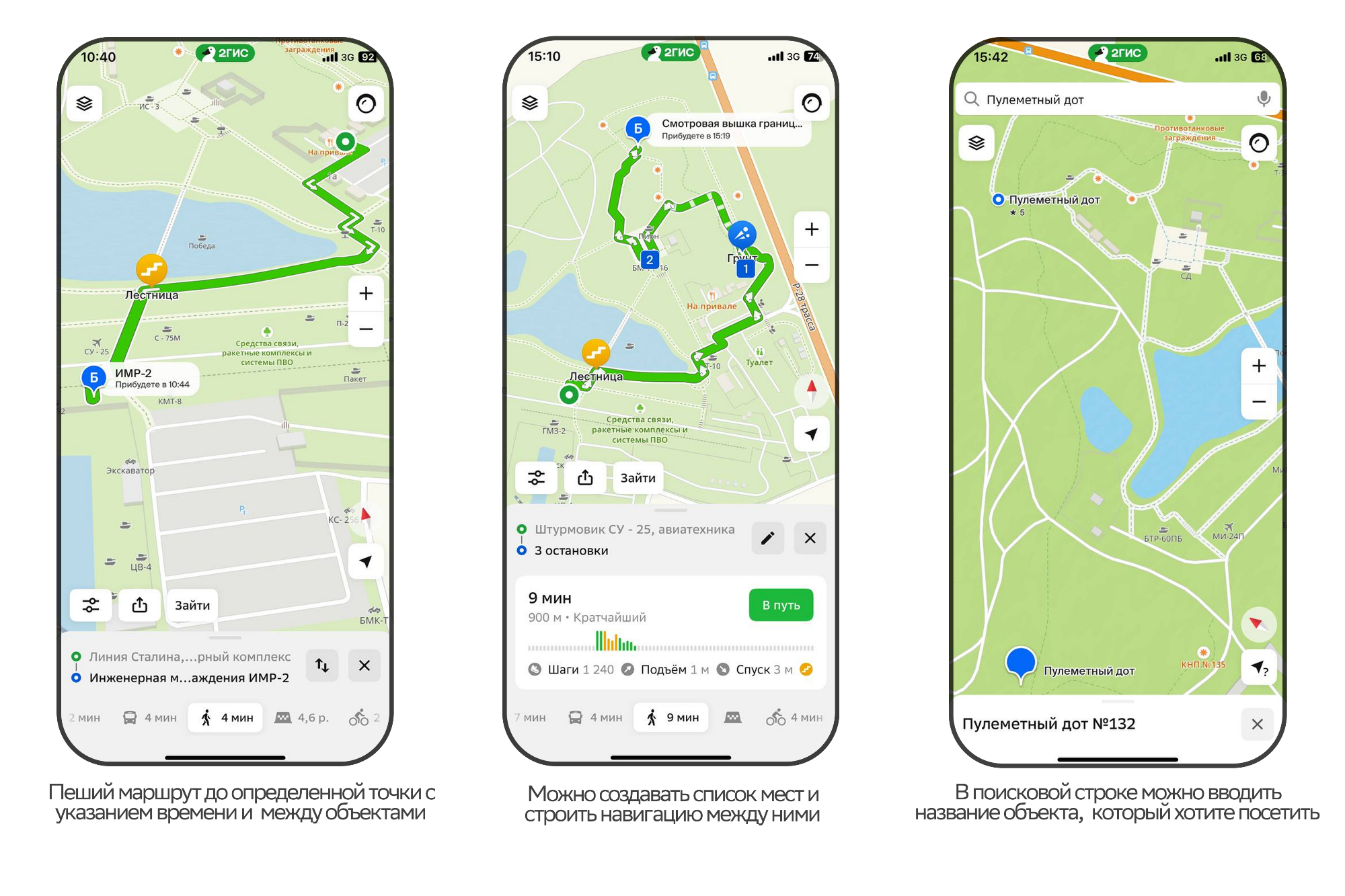
Not sure how to get from one location to another? The walking route planner in 2GIS can help. Simply enter your starting point and destination, and the app will suggest the best route, saving you a considerable amount of time.
Up-to-Date Service Information
2GIS also provides information about businesses and services throughout Minsk, including rest areas, cafés and shops at Stalin Line. 2GIS specialists regularly update the data, so you can always find the latest opening hours, services and contact details.
Intuitive Interface
The user-friendly interface and features of 2GIS make the app accessible to people of all ages and levels of technical experience. It is the ideal tool for finding your way among the many historical exhibits and enjoying your visit to Stalin Line.
Discover Minsk in Full
2GIS is more than just a navigation app: it is a comprehensive guide to Minsk. It shows every detail, including barriers, pedestrian gates and shopping centre floor plans. Interested? Click on any place on the map to see full information, including its address, number of storeys and entrances, as well as details of the organisations responsible for its maintenance. This allows you to plan your time and route without missing any important details.
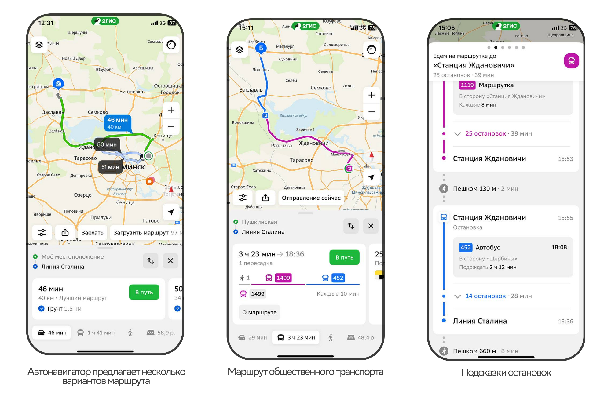
One of the main advantages of 2GIS is its up-to-date information on traffic congestion, road signs and even unpaved roads. Whether you are travelling around Minsk by public transport, car or bicycle, or exploring on foot, 2GIS will calculate the best route based on current urban conditions. Voice directions recorded by well-known broadcasters make navigation even more pleasant and convenient.
More Than Maps
Besides its navigation features, 2GIS offers many other useful functions. You can read reviews and ratings of establishments, check that contact details are up to date and find their opening hours.
Friends on the Map
The «Friends on the Map» feature shows the location of your friends and family directly on the map, subject to mutual consent. With «Friends» in 2GIS, you can:
— See where your loved ones are on the map. This is particularly useful for families with children.
— Receive notifications when people you know are approaching a particular location, so you will not need to ask «Where are you?» as often.
— See when friends are nearby and meet up spontaneously — staying in touch online is great, but meeting in person can sometimes be much more enjoyable.
Plan your trip, discover new horizons and immerse yourself in the history and cultural life of the capital with 2GIS!
You can download the app using this link or simply download it from the App Store or Google Play!







 Russian
  English